Baton Rouge Metropolitan Airport (BTR)
Orientation and Maps
(Baton Rouge, Louisiana (LA), USA)
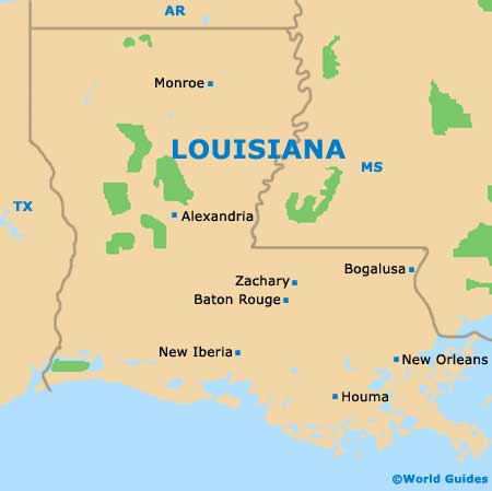
To the southeast of Alexandria and west of New Orleans, the city of Baton Rouge is especially close to Lafayette, Hammond and Denham Springs. Located off the I-10 interstate, Baton Rouge is famous for its native American heritage and originally gained its name from poles that were once painted with blood and staked along the banks of the Mississippi River.
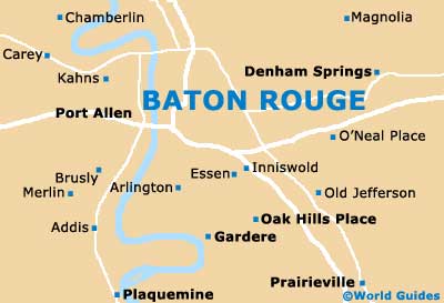
On the northern side of the city, the Baton Rouge Metropolitan Airport (BTR) lies off the I-110 and is used by many regional airlines. Those arriving by bus will find the Greyhound station along the Florida Boulevard at North 12th Street, with the Capital Transportation City Bus station also being located nearby.
Baton Rouge Airport (BTR) Maps: Important City Districts
The city of Baton Rouge is the capital of Maryland and features two large universities, including the Louisiana State University, which stands on the southwestern side of the downtown area. Many top sights and attractions are located nearby, including the Louisiana State Capitol, which is famous for being America's highest capitol building and boasts a popular observation deck with spectacular cityscape views.
Baton Rouge's main artery is Highland Road, while those looking for the largest selection of shops and places to eat out should visit Perkins Road. For tourist information, leaflets and maps, head to the Convention and Visitors Center along the North Boulevard.
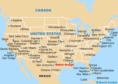
USA Map

Louisiana Map

Baton Rouge Map


